
Gardena ZIP Codes by Coverage
The Census Bureau identifies four ZIP Code Tabulation Areas, or ZCTAs, as fully or partly within Gardena. A ZCTA is a statistical approximation, not a USPS operating boundary. The coverage table is the starting point for the Gardena ZIP code directory because it separates postal context from municipal and parcel context.
| ZIP | Areas covered | Post office | Notes |
|---|---|---|---|
| 90247 | Central and east Gardena, including Gardena Boulevard and Redondo Beach Boulevard areas | Gardena Post Office | Principal Gardena postal ZIP |
| Gardena 90248 | Southern and eastern Gardena, with industrial and commercial areas toward Artesia and Harbor Gateway | Gardena-area delivery | Verify each Gardena address and city context |
| Gardena 90249 | West and northwest Gardena, including areas near Crenshaw and El Camino College | Gardena-area delivery facilities | Postal footprint extends beyond a simple city perception |
| Gardena 90504 | Small Gardena city-edge overlap | Torrance postal designation | Gardena parcel and postal city can disagree |
No verified Gardena ZIP split or realignment date was located in the official research. Treat the current Gardena address result as the controlling delivery clue and do not invent a historical boundary.
Gardena ZIP 90247 and the Post Office
90247 is the principal Gardena postal ZIP and covers central and east areas around Gardena Boulevard and Redondo Beach Boulevard. The Gardena Post Office is listed at 1455 W. Redondo Beach Boulevard. Use the address form before assuming that an address belongs to the post office's service footprint because delivery, municipal, and parcel boundaries answer different questions.
The Gardena Post Office listing provides the official location context for the 90247 side of the postal directory.
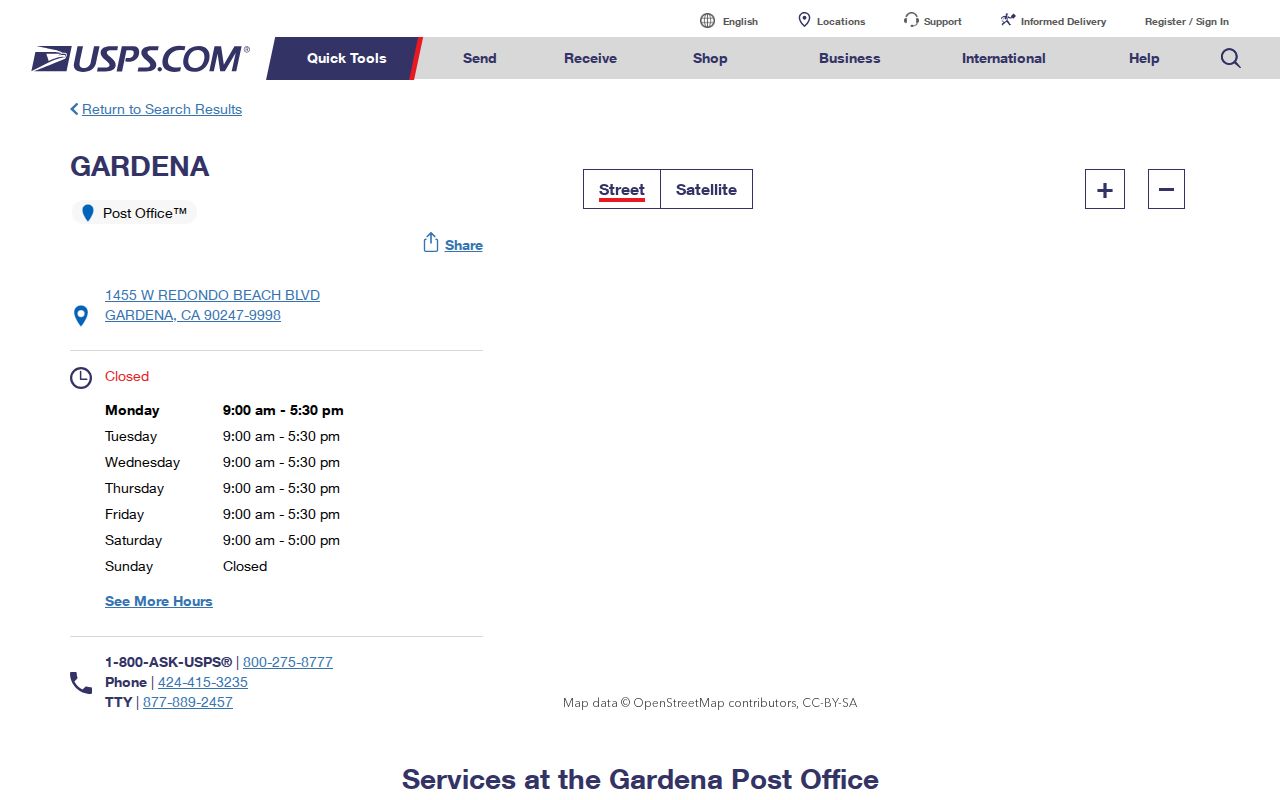
A confirmed Gardena 90247 address can then move to the Assessor PAIS search, a City Hall record, or a street-level parcel workflow.
Gardena ZIP 90248 Carries a Different Context
That Gardena distinction is important along the industrial and logistics corridors. A parcel may have a commercial use code, a business mailing line, or a project record even when the search began with a personal name. Check the address in the Secretary of State business search or a city license request when the record points to an entity. Do not convert a business filing into a private-home conclusion. The postal directory can narrow geography, but the record role still controls the meaning.
Gardena 90248 reaches southern and eastern Gardena and includes industrial or commercial context toward Artesia and Harbor Gateway. A ZIP-wide count or search can therefore mix parcel uses. Check the PAIS use code and aerial or map context before treating a result as a household clue.
Gardena ZIP 90248 is useful for narrowing a known address, not for generating a complete resident list. The USPS result confirms delivery. The AIN identifies the parcel. A deed or permit supplies a dated legal or project connection. Each step belongs to a different custodian.
Geography check. A Gardena ZIP can cross a municipal line, a ZCTA can approximate delivery, and a business address can look like a household clue. Verify the parcel before searching people records.
Gardena ZIP 90249 and West Gardena
90249 covers west and northwest Gardena, including areas near Crenshaw and the El Camino College vicinity. The postal footprint can extend beyond the mental map of the city. A school, business, or community address may have a different record custodian than a residential parcel on the same ZIP.
For a Gardena postal-directory search in 90249, save the exact street string, postal city, ZIP, and the city or county source that confirms the address. Then use the Assessor address search or the parcel viewer. If the purpose is older family history, ask the library for a directory or yearbook catalog check rather than using a ZIP as a historical place name.
Why Gardena Includes ZIP 90504
Keep a small Gardena audit line for every edge address: USPS returned value, municipal jurisdiction, Assessor situs, AIN, date checked, and the office contacted. That record makes a later CPRA request or deed search easier to explain. It also prevents a changed postal label from being mistaken for a change in land or city custody.
90504 is the boundary oddity. Census place and ZCTA data show a small part of Gardena associated with a ZIP that carries a Torrance postal designation. A “Torrance, CA” mailing line does not settle the municipal question. City permits, code cases, and CPRA requests may still belong to Gardena if the parcel is inside the city.
Run the Gardena USPS by-address check, then compare the municipal record route and the Assessor parcel. Do not change the postal city to Gardena by hand when the USPS result says Torrance. Preserve both values so a records request reaches the right office and a historical search can test both place names.
The Gardena 90504 overlap is why postal-directory work must keep postal geography and city geography in separate columns.
Gardena ZIP Code Directory Boundaries
Gardena PAIS may accept a ZIP as a refinement after a street is known, while California voter reports can be city or precinct based rather than ZIP based. The Census can describe a ZCTA population without resolving a parcel. GIS can show a boundary or adjacent tract without exposing online owner names. These limits are why a ZIP result should be carried forward as a filter, then tested at the street, parcel, or custodian level.
A ZIP code is a postal routing label. A ZIP+4 adds a more precise delivery segment. A PO-box ZIP is associated with box delivery when an office uses one; research did not identify a separate Gardena PO-box-only ZIP. A unique ZIP serves a single institution or narrow address group; no Gardena unique ZIP was verified. A carrier route is a delivery sequence within a postal system.
- Gardena ZIP versus ZIP+4
- Five digits identify the broad postal area; four extra digits narrow the delivery segment.
- Gardena PO-box ZIP
- A postal routing area used for post-office boxes, not a proof of a person's physical location.
- Gardena unique ZIP
- A narrow ZIP assigned to one institution or small delivery group, not identified for Gardena in the research.
- Gardena carrier route
- The sequence a carrier follows to deliver mail within a postal area.
Gardena ZCTAs support Census aggregates, but they are not a named resident file and not a legal city boundary. A ZIP code directory should say which geography it uses before presenting a count or map.
Finding Gardena Residents by ZIP Code
Use a ZIP to narrow a Gardena address or a historical question, then hand the narrowed clue to the right office. The USPS lookup accepts a full delivery address, an apartment or suite, a city and state, or a ZIP with a recognized city list. It warns that its result does not confirm whether a person or company occupies the address.
- Enter the complete Gardena street address in USPS By Address mode and preserve the returned postal city and ZIP.
- Check the same Gardena address in PAIS to obtain an AIN and compare the parcel's situs and use.
- For a municipal record, use the Gardena City Clerk or department that already holds the permit, code, or request file.
- For a named Gardena person, use a permitted court, business, vital, voter, or library source rather than a ZIP-wide assumption.
- Once the ZIP narrows to a street, use the Gardena street directory address workflow for parcels and records.
| Gardena company | Optional USPS field; omit or retry a variant if no result appears. |
|---|---|
| Gardena street address | Required for an exact delivery lookup. |
| Gardena apt, suite, or other | Optional unit refinement. |
| Gardena city and state | Required unless a ZIP is supplied; the postal city may differ from municipal jurisdiction. |
| Gardena ZIP | Five-digit alternative or refinement. |
| Gardena cities by ZIP | Returns recognized city names associated with a supplied ZIP. |
USPS verifies Gardena address formatting and delivery context. It does not return a residents directory.
What a ZIP Search Cannot Return
The Gardena county layer remains separate. RR/CC handles deeds and many vital copies, the Assessor handles parcel assessment data, Elections controls voter products, and Superior Court handles cases and probate. A ZIP code directory should hand a record to the correct office instead of sending every edge case to the postal service.
The LA County contact route shows the Gardena county office layer used after a postal check.
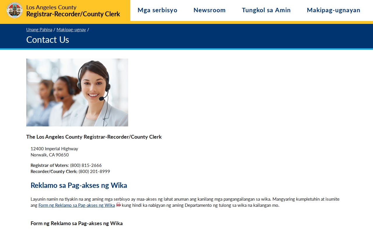
Postal confirmation and county custody work together, but neither source returns a ZIP-wide list of Gardena residents.
Gardena PAIS can use a ZIP as a refinement, but it does not expose an unrestricted owner list for an entire ZIP. The Assessor's owner-name restriction remains in place online. Voter records are not a browseable street or ZIP roster, and Census data aggregates people into ZCTAs rather than naming households. A ZIP is therefore a filter, not a person-finding endpoint.
For an edge address, ask Gardena City Clerk about a city-held record and use the county office for the county-held record. The City Clerk page identifies the municipal routing function.
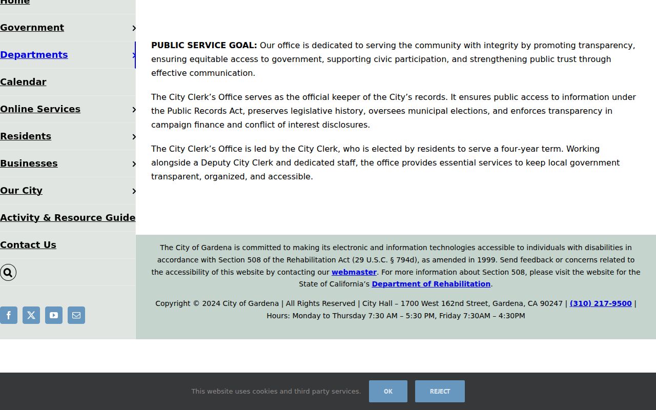
The city record route and the ZIP label should be saved together, but neither turns postal geography into a named list of Gardena residents.
Verify Gardena ZIP Details Twice
Use the USPS ZIP Lookup for delivery, the Census QuickFacts relationship for statistical geography, and PAIS or the Assessor Parcel Viewer for the parcel. When the results disagree, preserve the disagreement and identify which question each system answers. A “Torrance” postal city can still lead to a Gardena municipal request; a “Gardena” postal city can extend beyond the city line.
No official historical realignment date for Gardena's ZIP codes was verified. A careful postal directory states that limitation and uses current official address verification instead of backfilling a date.